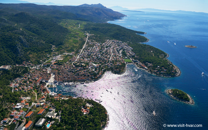
The island of Hvar is situated on the east coast of the Adriatic Sea and is a part of the central Adriatic group of islands. The island is in the Split-Dalmatian County and it is surrounded with several large neighbouring islands.
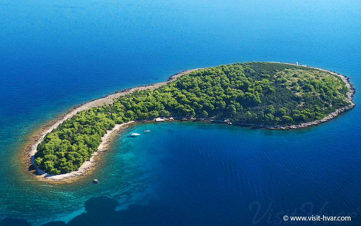
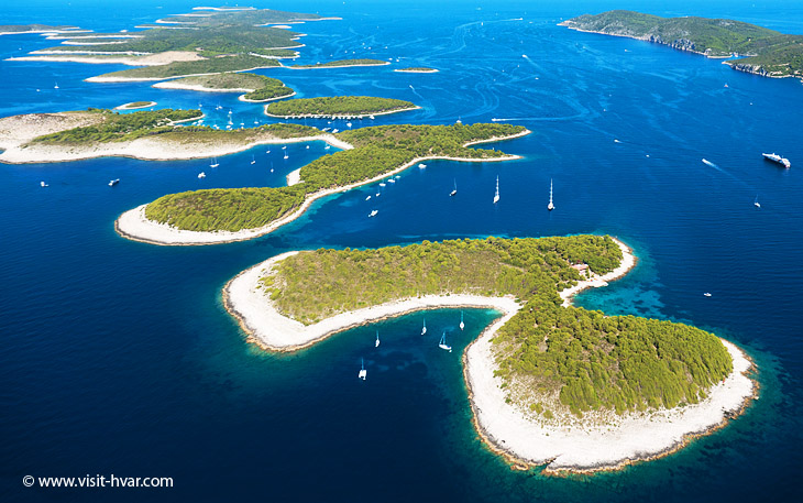
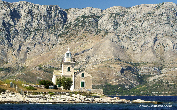
It is situated 14 km south-east of the island of Šolta, 3.4 km from the island of Brač, 7.2 km north of the Pelješac peninsula, 14.2 km from the island of Korčula and 27.6 km north-east of the island of Vis. It is only 4 km from the mainland (Matijaševica cape). The island is surrounded with the channel of Hvar on the north and the channels of Neretva, Vis and Korčula on the south. The island is 67.5 km in length from east to west, and 10.5 km in width. The neighbouring islands are the islands of Zečevo and Duga on the north and Pakleni islands – Vodnjak Mali, Vodnjak Veli, Travna, Paržanj, Borovac, Sveti Klement, Dobri, Vlaka, Stampedar, Planikovac, Gojica, Marinkovac, Jerolim and Galešnik, the islet of Pokonji Dol with a lighthouse and the island of Šćedro on the south.
With 254.2 km in coastal length and a coefficient of indentedness of 4.14, the island of Hvar has, besides the island of Dugi otok, the most indented coast in the Adriatic. Hvar is the fourth largest island in the Adriatic, covering an area of 299.7 km². The highest peak of the island is the peak of Sveti Nikola (628 m). The road connecting the town of Hvar on the west and Sućuraj on the east coast of the island is 84 km long. The island is covered mostly in pine trees and vineyards producing up to 50000 hectolitres of wine a year.


